Blog
Pilot Launch | Tackling water scarcity through seed enhanced tomato seeds in Mexico
Mercy Corps Ventures, in partnership with Salicrop, is testing a non-GMO seed priming technology in Baja California to enhance tomato resilience under heat and saline stress, helping smallholder farmers improve yields and adapt to growing water scarcity.
Pilot Launch | Protecting Coffee Seedlings from Heat and Water Stress with Biodegradable Coatings in Costa Rica
In partnership with Lilliput Technologies Ltd., this pilot tests biodegradable coatings to protect coffee seedlings in Costa Rica from heat and water stress, improving early plant survival and helping farmers strengthen climate-resilient coffee production systems.
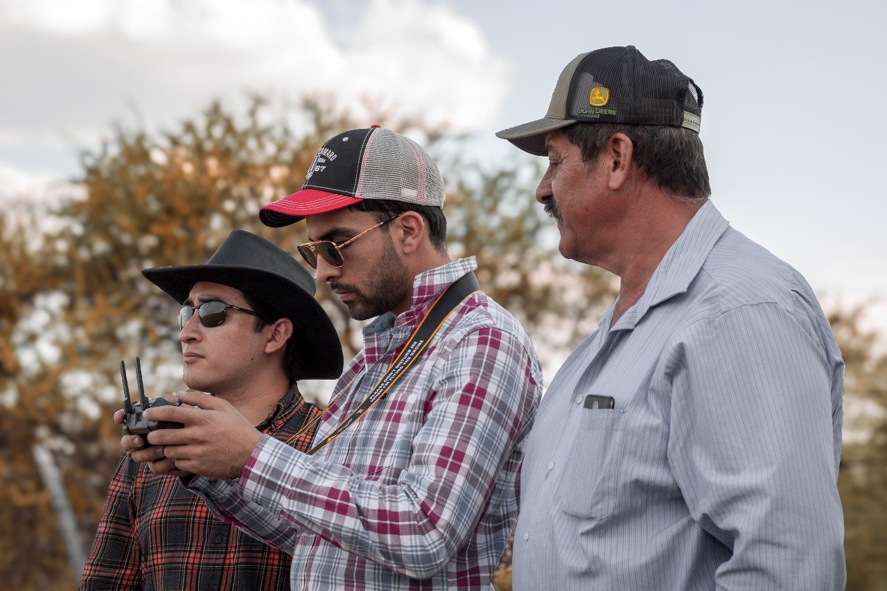
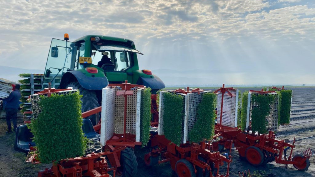
Pilot Launch | Using satellite and drone data to redesign rainfed agriculture for climate resilience
In partnership with Artifields, this pilot uses satellite and drone data to redesign rainfed fields in Mexico improving water retention, reducing runoff, and helping smallholder farmers build climate-resilient production systems.

Pilot Launch | Satellites On Fire: Using the Power of AI to Prevent and Predict Wildfires
Mercy Corps Ventures is partnering with Satellites on Fire to pilot an AI-powered wildfire prediction model in Misiones, Argentina. Using satellite imagery, real-time data, and local knowledge, it will forecast fire spread to enable faster response, protect ecosystems, and build climate resilience.