
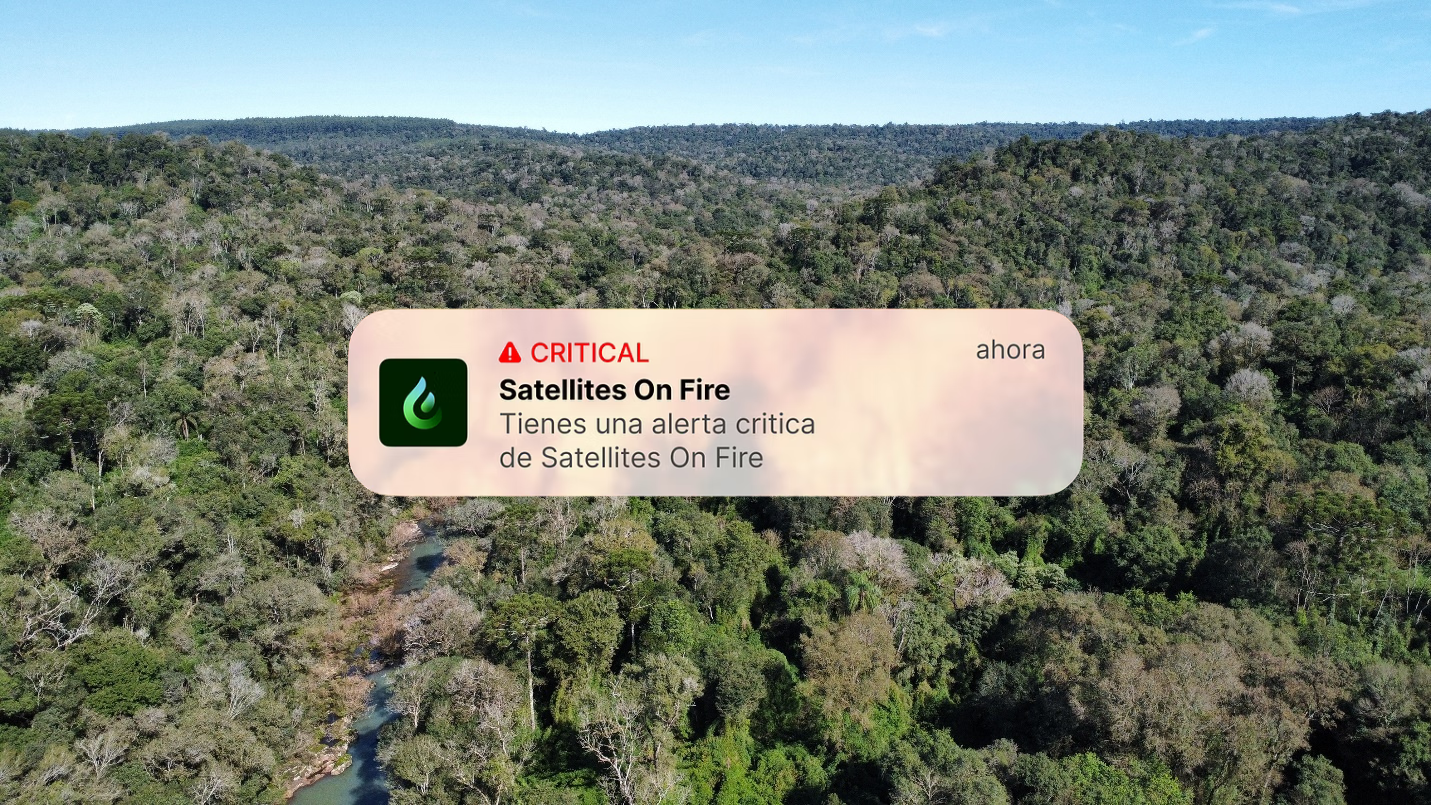
Pilot Launch | Satellites On Fire: Using the Power of AI to Prevent and Predict Wildfires
Mercy Corps Ventures has launched a pilot with Satellites on Fire, an early-stage startup developing an AI-powered wildfire prediction model to strengthen early warning systems and prevent catastrophic fire losses. This initiative emerged from our AI for Climate Resilience program, launched in July 2024, which seeks to explore how artificial intelligence can support climate adaptation in emerging markets — especially for the most climate-vulnerable communities.
Satellites on Fire currently offers real-time wildfire detection and alerts using satellite imagery across the Americas, allowing users to visualize fires detected within the last three hours, analyze historical burn patterns, and receive immediate notifications when new fires emerge in their area. Through this pilot, we are supporting the development of their next-generation fire prediction model, enabling earlier action and improved forest and land management in high-risk regions.
This post is the first of a two-part series. The second blog will share key insights after the pilot is completed. Written by Maria Gomez, Innovation Manager at Mercy Corps Ventures and Ignacio Martinez, Technical Lead at Satellites on Fire.
In Brief:
Satellites on Fire was selected from our AI for Climate Resilience call for proposals, which surfaced over 300 innovations using AI to address climate risks in emerging markets.
Satellites on Fire will develop and launch an AI-driven fire propagation early warning system by predicting how wildfires will spread, enabling faster, more effective responses and helping to prevent the destruction of forests.
The pilot will help protect ecosystems and improve resilience for climate-vulnerable communities in Misiones, Argentina — and lays the groundwork for expanding the model to neighboring regions in northern Argentina, southern Brazil, and eastern Paraguay, where similar risks and needs exist.
If successful, this model could scale to other wildfire-prone regions globally, setting a new standard for AI-powered wildfire management.
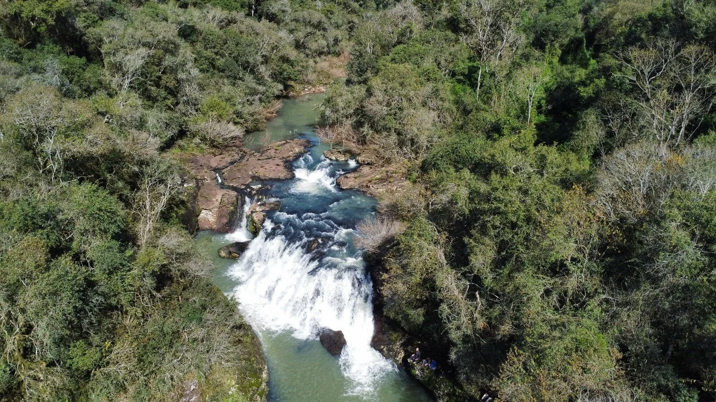
Native forest landscape in Misiones, rich in biodiversity.
The Problem
Wildfires are increasing in frequency, scale, and impact
Wildfires are becoming more frequent, more intense, and more destructive — posing a growing threat to ecosystems, human health, and the global climate. Each year, wildfires are responsible for the loss of over 3 billion animal lives, more than $140 billion in economic damages, and an estimated 300,000 premature deaths due to exposure to toxic smoke and airborne pathogens. They also release 7.8 billion tons of CO2 annually, accounting for over 20% of total global emissions — both fueling and accelerating the climate crisis.
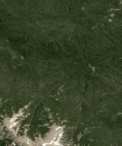
In recent years, South America has become a wildfire hotspot, driven by record-breaking droughts and extreme heat. In 2024 alone, wildfire alerts across the region were 79% above average. Fires raged across Brazil, Argentina, Bolivia, Colombia, and Peru, destroying millions of hectares of forests and savannas. The environmental toll is matched by human consequences: fires are endangering biodiversity, displacing communities, and undermining forest-based livelihoods. In Misiones, Argentina, for example, wildfires threaten both the region’s rich biodiversity and the Mybá Guaraní Indigenous communities, who depend on the forest for food, medicine, and cultural practices.
Early warning systems are a critical tool for fire prevention, giving communities the information they need to act before fires ignite.
We know when fires start — but not where they’re going
While early detection is essential for wildfire response, it’s only part of the solution. Equally critical is the ability to understand how a fire will evolve once it ignites — its direction, speed, and potential impact. Yet this remains a major gap in wildfire preparedness today.
Satellites on Fire has made meaningful strides in closing the wildfire detection gap. By combining data from NASA satellites — revisiting the Americas four times per day — with two others capturing imagery every 10 minutes, and applying artificial intelligence on each new image, Satellites on Fire consistently detects fires faster than NASA and other public systems. This high-frequency, AI-powered approach enables national parks, fire stations, forestry companies, carbon credit developers, NGOs, and Indigenous communities to respond swiftly to new fires and monitor active threats with greater accuracy.
However, even with such high-resolution data, the ability to predict the future path of wildfires is still limited. Current fire monitoring tools struggle to offer reliable, timely forecasts of fire behavior — information that is essential for strategically deploying resources and minimizing damage. As several Satellites on Fire partners have emphasized, predictive models could transform wildfire management by enabling more proactive, data-informed interventions. Without this next layer of insight, fire response remains largely reactive — slowing down decision-making and increasing the risk of loss.
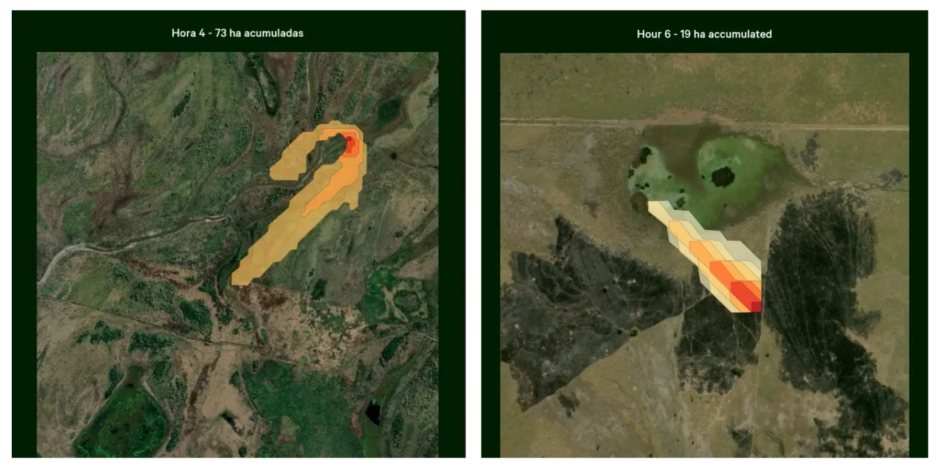
Image courtesy of Satellites on Fire
The Pilot
Mercy Corps Ventures is partnering with Satellites on Fire to enhance their existing AI-powered early warning system, developing and launching a new fire propagation model. The pilot, taking place in Misiones, Argentina, integrates satellite imagery, real-time meteorological data, historical fire behavior, and traditional knowledge to simulate how wildfires are likely to spread across a 24,000-hectare area, with the goal of creating a scalable solution for wildfire-prone regions globally.
By improving the accuracy of fire propagation forecasts, this pilot is expected to reduce the time it takes for local authorities and communities to detect and respond to wildfires. Faster, more targeted response means fewer fires escalating into full-scale disasters — safeguarding homes, ecosystems, and the livelihoods of vulnerable populations. This includes the Mbyá Guaraní community, whose reliance on agriculture and forest resources makes them especially vulnerable to fire-related risks.
This pilot will push the frontier of wildfire resilience in emerging markets. Satellites on Fire is already a leader in early wildfire detection across Latin America, with systems deployed over 70 fire stations and a user base of 32,000. This pilot extends their capability into dynamic, AI-powered prediction, something their customers have asked for and few others offer in the region. If successful, this model could serve as a blueprint for protecting other high-biodiversity, high-risk areas around the world.

Image courtesy of Satellites on Fire
Learning Agenda & Key Hypotheses
We will test three core hypotheses in this pilot:
Providing access to more precise wildfire prediction models will enable local communities and authorities to more quickly detect and respond to fires. Our north star is to increase the speed and efficiency of fire response.
A wildfire propagation model will reduce ecological, economic, and human damage in vulnerable areas while enhancing climate resilience. Our north star is to reduce the socioeconomic losses of wildfires.
Integrating predictive fire modeling into the Satellites on Fire early alert system will increase demand from customers, strengthening its market positioning and scalability in wildfire prevention solutions. Our north star is to increase client adoption and retention.
We hope that by integrating multiple technologies to develop a fire propagation model, Satellites on Fire will be able to continue advancing fire response, increasing efficiency and reducing the socioeconomic losses associated with fires.

Satellites on Fire Team
Stay Tuned
Stay tuned for updates, evidence, and insights on our other Mercy Corps Ventures pilots responsibly testing technology solutions to increase the climate resilience of vulnerable populations in emerging markets.